Nagoya Chubu Centrair International Airport (NGO)
Orientation and Maps
(Nagoya, Japan)
One of Japan's biggest cities, Nagoya lies in the Chukyo Metropolitan region of the country and has a population exceeding two million. Nagoya enjoys a fairly central situation, with wide and fast expressways, many major corporations and a busy port. Nagoya is surprisingly near to a number of areas of countryside and within the city itself are plenty of trees and landscaped areas. The city was officially founded towards the end of the 19th century and has continued to evolve ever since.
A modern off-shore airport opened at the beginning of 2005, Chubu Centrair International Airport (NGO) is situated on the south-western outskirts of the city. Nagoya's number one airport, this multi-billion dollar complex was built to impress and stands on a purpose-built artificial island, in a bay setting.
Nagoya Chubu Centrair International Airport (NGO) Maps: Important City Districts
Nagoya's downtown district contains many popular shopping centres and is easy to reach, with a number of different subway trains around the area. Downtown Nagoya is also home to the city's main train station, which is located close to the spectacular and vast JR Central Towers, one of the country's biggest buildings. Other highlights in this part of the city include the Nagoya International Center, and the historic Matsuzakaya department store.
A prominent thoroughfare in the city centre, Nishiki Avenue is lined with many major corporations and businesses. You will also find plenty of places to eat and drink here, together with entertaining nightspots. Nearby, the historic Atsuta Jinja shrine is a major landmark and is situated in the Atsuta-ku area.
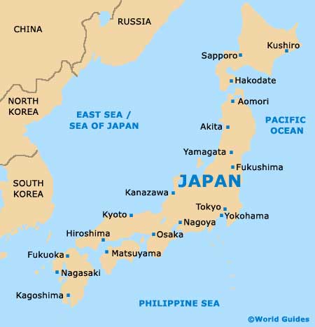
Japan Map
Nagoya Map

